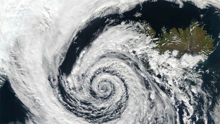
Cyclone ‘Biparjoy’ to intensify. How it will impact weather, monsoon in India
Cyclonic storm ‘Biparjoy’ over east-central and adjoining southeast Arabian Sea is likely to move nearly northwards and gradually intensify into a severe cyclonic storm in the next few hours, according to the Indian Meteorological Department.
It is expected to further intensify into a very severe cyclonic storm over the same region during the subsequent 24 hours.
The cyclonic storm over east-central and adjoining southeast Arabian Sea remained practically stationary for almost three hours and was about 900 km west-southwest of Goa, 1020 km southwest of Mumbai, 1090 km south-southwest of Porbandar and 1380 km south of Karachi at 2.30am IST.
Impact on weather in India
With the onset of the monsoon in Kerala already delayed, the Met department on Monday said the cyclonic storm is expected to critically influence the advance of the monsoon towards the Kerala coast. The weather department is yet to give a tentative date for the arrival of the monsoon in Kerala while private forecasting agency Skymet Weather said it may happen on June 8 or June 9 that too with a “meek and mild entry”.
“These powerful weather systems in the Arabian Sea spoil the advancement of the monsoon deep inland. Under their influence, the monsoon stream may reach coastal parts but will struggle to penetrate beyond the Western Ghats,” it said.
The southwest monsoon normally sets in over Kerala on June 1 with a standard deviation of about seven days. The IMD had earlier predicted that the monsoon might arrive in the southern state by June 4. While the onset of monsoon in Kerala got further delayed due to the formation of a low-pressure system in the Arabian Sea, it does not mean, according to scientists, that the monsoon will reach other parts of the country late. It also does not impact the total rainfall over the country during the season.
Wind warning over the next five days
Gale wind speed reaching 70-80 kmph gusting to 90 kmph prevailing over the east-central Arabian Sea and adjoining areas of west-central and southeast Arabian Sea is likely to become 105-115 kmph gusting to 125 kmph from the evening of June 7 over the same area.
On June 8, squally wind speed reaching 40-50 kmph gusting to 60 kmph is likely along and off Karnataka-Goa-Maharashtra coasts. The wind speed is likely to remain same for the next four days along these coastal areas.

