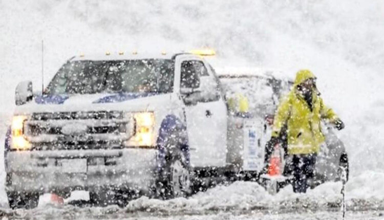
California faces back-to-back storms, flood risk high
California was drenched by a strong storm on Thursday, which caused widespread damage across the state.
The atmospheric river storm, ‘Pineapple Express’ was similar to the ones that brought havoc to California last winter. Residents were advised to brace for another, even stronger storm over the weekend.
Jackie Ruiz, a spokeswoman for the Santa Barbara County Office of Emergency Management, said, “We are in full preparation mode. We’re definitely encouraging people to stay local, hunker down and if there’s no urgent need to be on the road, stay off the road.”
Santa Barbara County, located between the mountains and the ocean, was at high risk of flooding and mudslides. But the impact of the storm was felt throughout the state, as meteorologists predicted heavy rainfall from both storms.
Pineapple Express hunted Northern California first
The storm first hit Northern California, where it flooded roads and closed schools in rural areas on Wednesday.
The coast was also under threat of large and dangerous waves.
The storm increased San Francisco’s total rainfall for the season above normal for the first time, according to Jan Null, an adjunct professor of meteorology at San Jose State University.
On Thursday, Southern California woke up to dark skies, strong winds and heavy rain. Flash flood warnings were issued for parts of Los Angeles County near the coast and on the hills.
Rose Schoenfeld, a meteorologist with the National Weather Service (NWS) in the Los Angeles area, warned that Palos Verdes Estates residents should be especially careful. That was where some homes on the edge of a cliff slid into a canyon last July, due to the soil being soaked by last winter’s storms.
In Long Beach, a major freeway was closed due to flooding, creating a traffic nightmare in the area. The Pacific Coast Highway was also shut down in Huntington Beach because of the water. In Orange County, firefighters rescued a person from a storm drain that was overflowing.
‘Water moving at a dangerous speed’ throughout the Golden State
The Orange County Fire Authority posted a video of the water rushing into the drain on social media and said, “As you can see, with the heavy rain, the channels are going to fill up quickly, with the water moving at a dangerous speed. Please stay clear of bodies of water.”
The storm also brought snow to the Sierra Nevada, which was welcome news for the drought-stricken state. The rain was expected to last until Thursday night, but the weather was forecast to improve on Friday and Saturday.
Californians were not out of the woods yet, as another storm was looming on the horizon
The storm, which was expected to hit late Saturday and continue into Sunday, was likely to be more intense than the previous one. But despite some online rumours, the storm was not going to be anything like the “ARkStorm,” a rare and powerful atmospheric phenomenon that could flood major cities on the West Coast, according to scientists at the United States Geological Survey.
Instead, the storm was expected to be similar to the ones that broke daily rainfall records last winter and brought the first significant rain to the state after years of dryness.
A climate scientist at UCLA, Daniel Swain, who studies and communicates weather events, said in an email that he was “becoming increasingly concerned regarding what has the potential to become a major regional flood event somewhere between Santa Barbara and San Diego counties” by the start of next week.
He said that some of the forecasts indicated rainfall amounts that could exceed the capacity of flood-control systems in the state’s biggest urban areas, including Los Angeles.
Dr. Swain said, “This will bear close watching over the next couple of days.”

